Feshiebridge is a beautiful riverside walkway just east of Loch Insh Outdoor Centre and southeast of Aviemore in central Scotland. Last year, my wife and I visited Uath Lochans, a short drive away, so we were keen to explore this area further. Feshiebridge didn't disappoint.
Feshiebridge Car Park
We made our way south from Aviemore on the B9152 and turned right at Kincraig towards Loch Insh. If you're looking for directions on Google Maps, type "Feshiebridge Car Park" instead of just "Feshiebridge;" otherwise, it will take you to the wrong area.

Green forestry signs flank either side of the entrance to the short road to the car park. At the fork in the road, choose right and follow the winding road to a pleasant and well-kept car park. Picnic tables are available here, and an information board with the available walking routes shown on a map is also available.


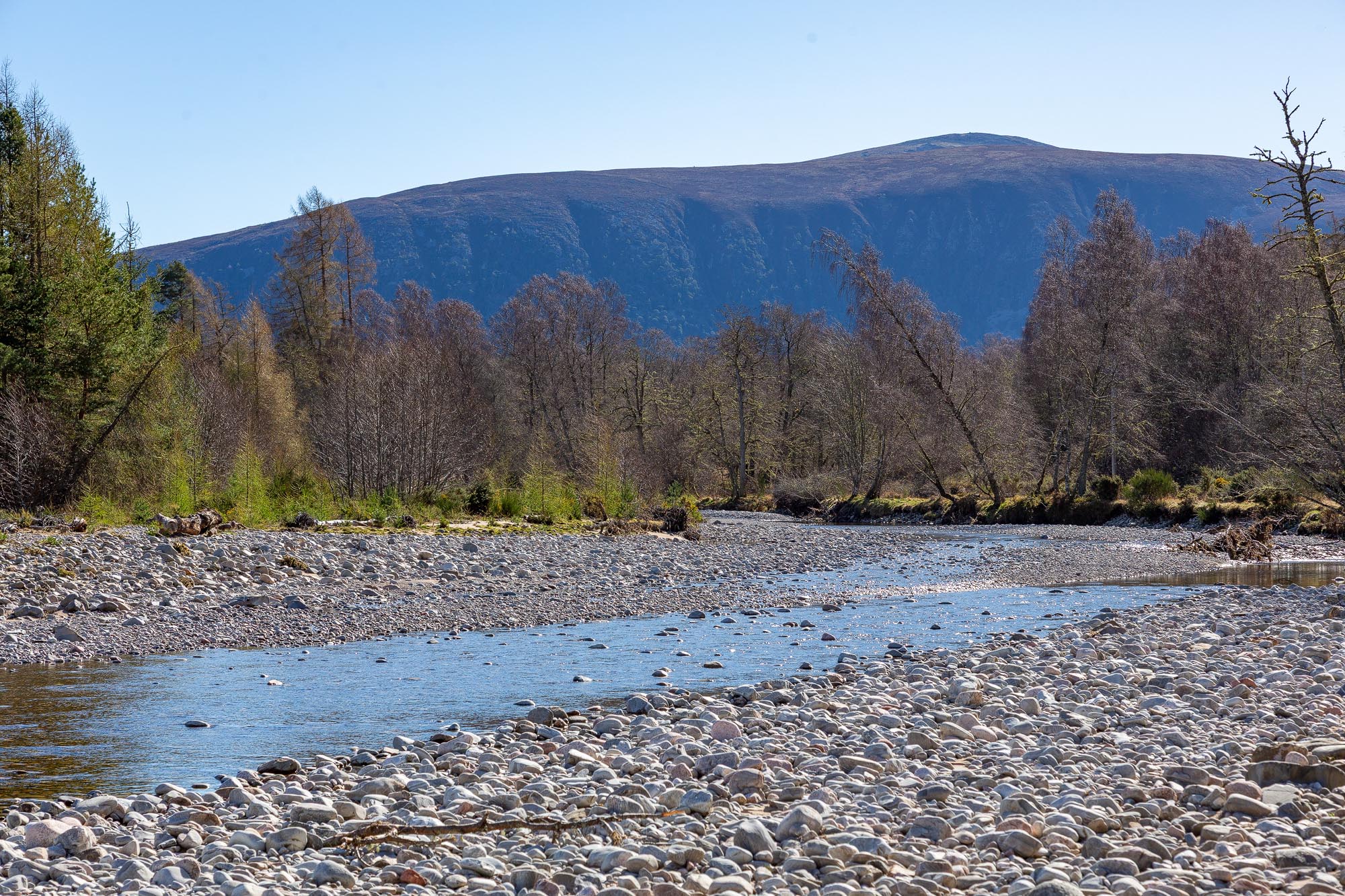
Glen Feshie & River Feshie
After reading the information board, we noticed that the Frank Bruce trail was closed due to fallen trees. Luckily, the second walk, the "River Feshie Trail" (orange route), was still open. This trail is one and a quarter miles long and very easy.

We set off following the orange marking posts and reached the west shore of the River Feshie within five minutes. The water level seemed quite low on our visit—the River drains the rain and snow melt from the nearby Cairngorm Mountains. I guess the fine weather was the reason for the low water level.
This first area is very peaceful and relaxing. We walked out onto the sun-bleached white riverbed stones and sat for a while, taking in the surroundings.


The walk continues along the riverside, which gives excellent views up and down a good section of the river. The path crosses a small bridge and rises to a gauging station.


Feshie Bridge River Gauging Station
The gauging station was an interesting little building built high on the river bank. The station quietly performs an essential role—monitoring the river's flow as it moves downstream. River flow refers to the volume of water travelling through the river over time and is typically measured in cubic metres per second (cumecs).
A float gauge located within the station’s stilling well tracks this flow continuously. A digital data logger records the water level and sends the information remotely to a SEPA (Scottish Environment Protection Agency) office. By comparing river levels with a series of manual flow measurements—known as gaugings—a continuous and accurate record of river flow is maintained.


Frank Bruce Sculpture Trail
Sadly, on this visit, the Frank Bruce Sculpture Park was closed to visitors due to fallen trees. However, this gives us a great excuse to visit again! This area contains many wooden sculptures carved by the late Frank Bruce. The trees were originally from this area, carved near Banff, and then returned to the Inshriach Forest.

FAQs on Feshiebridge
Are there toilet facilities at Feshiebridge Car Park?
No, there are no public toilets or camping spots, just a car park and some picnic benches. The Loch Insh Outdoor Centre would be the closest in a pinch; Aviemore and Newtonmore have public toilets.
What animals can be seen at Feshiebridge?
The area is known for its red squirrels and crested tits. It's also an Osprey fishing ground in early summer.
What else can be seen nearby?
Uath Lochans is another fantastic walk with some of the best viewpoints in the area. It is less than a 10-minute drive from Feshiebridge.
For tourist attractions, Highland Wildlife Park and Highland Folk Museum are a short drive away. Ruthven Barracks is also near Kingussie.

Key Information
-
Feshiebridge is an area of outstanding natural beauty within the Cairngorms National Park.
-
Located east of Loch Insh and southeast of Aviemore in the Scottish Highlands.
-
The walk is short and very easy to complete.
-
The riverside sections are very picturesque.
-
There is added interest in viewing the gauging station.
-
The car park is well maintained and has an information board and picnic tables.

Conclusion
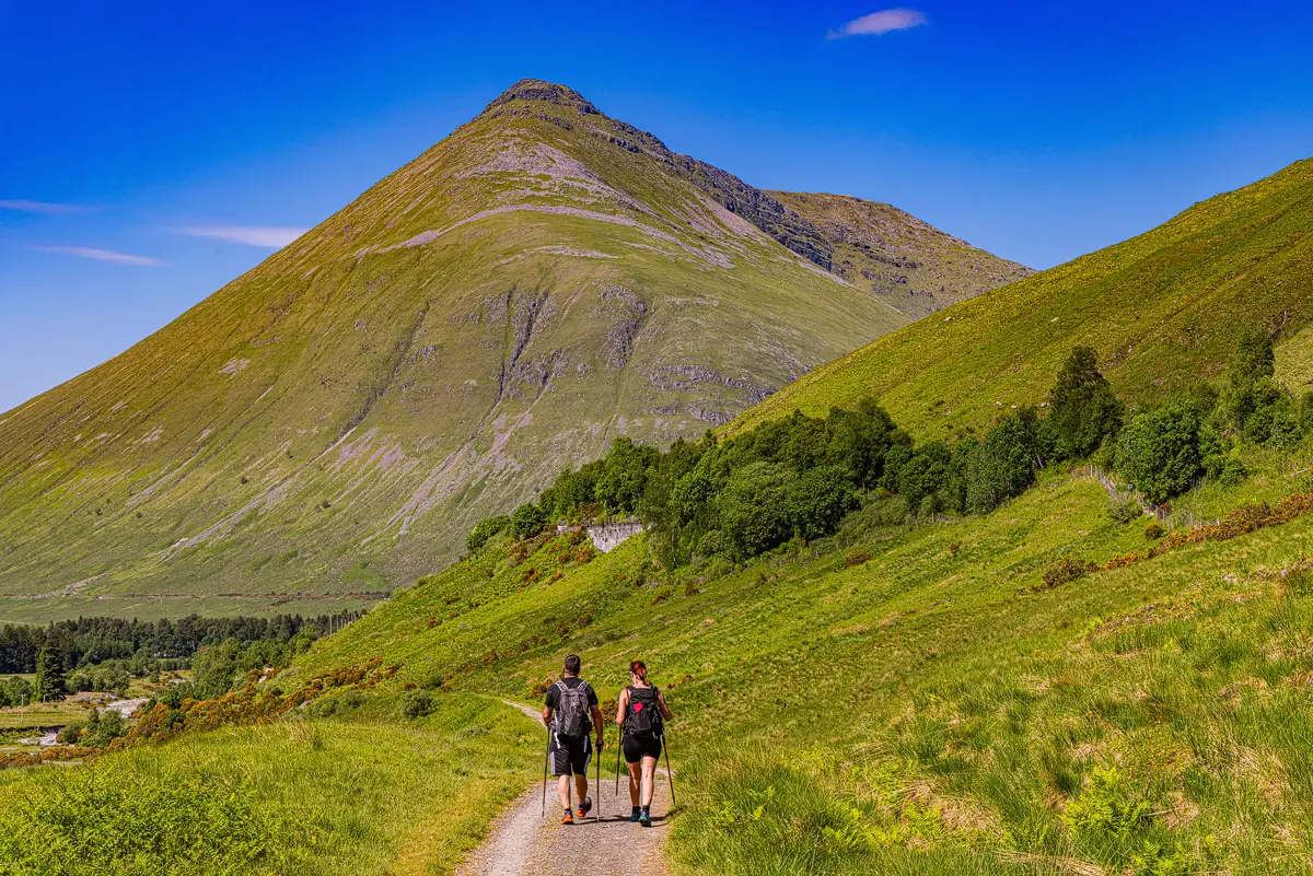
Feshiebridge is a short but lovely walk. Seasoned walkers will find it a bit too easy, but if you're looking for a short walk with a nice picnic spot, Feshiebridge is ideal. For more seasoned walkers, it's worth joining the walks at Loch Insh and Uath Lochans for a more challenging 7.5-mile walk.


Leave a comment below